Gaj Fm
Type Locality and Naming
Momani Gr – upper formation. Holotype section: Gaj River section. Author: W. T. Blanford, 1876. Reference section: None.
Lithology and Thickness
Sandy claystone to Limestone. At the type locality it is composed mainly of shale and sandstone with subordinate limestone. However, in foothills near Karachi, its lithology is dominated by limestone and calcareous sandstone.
Thickness: 65-700 m. At the type locality it is 650 m thick. The thickness varies from 500-700 m in KrP. In offshore, it is 67 m at Dabbo Creek-1 and 65 m at Patiani Creek-1.
Relationships and Distribution
Lower contact
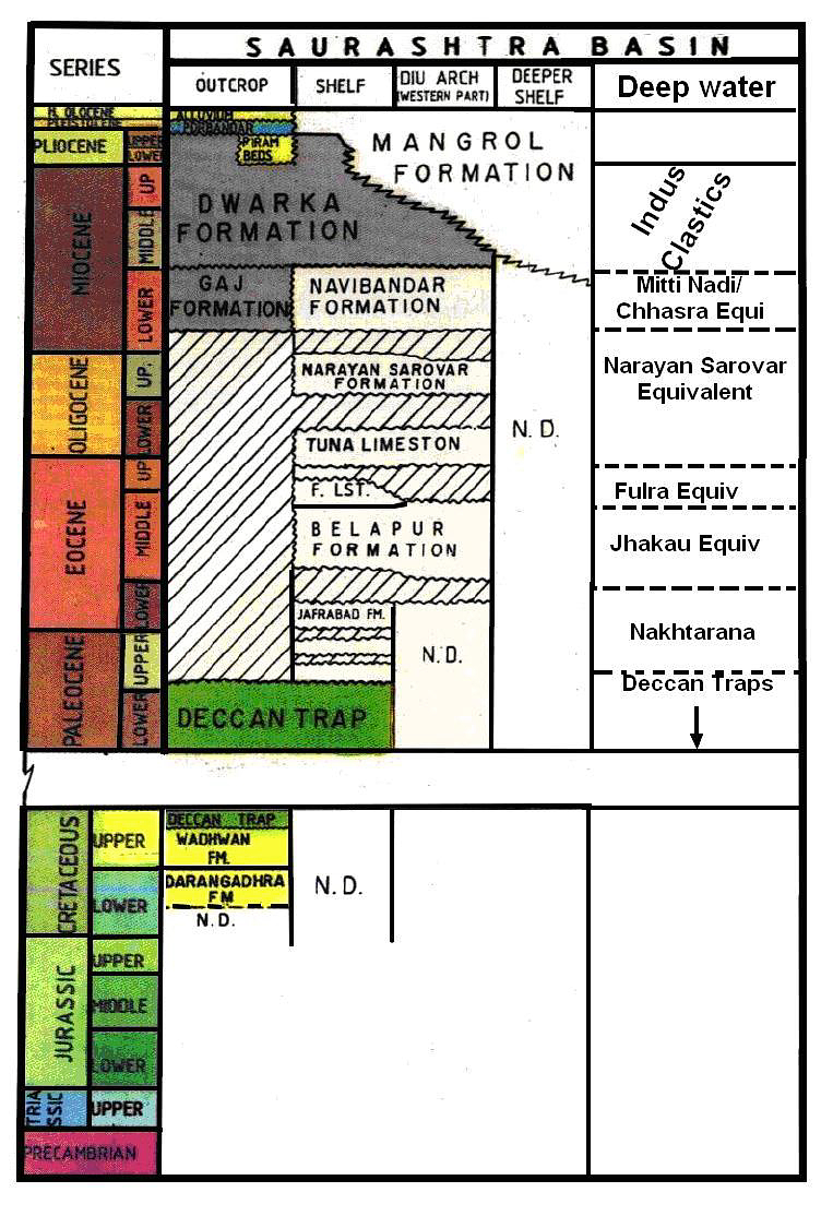
Conformably overlies Nari Fm (transitional).
Upper contact
Conformably overlain by Manchhar Fm (Manchar Fm) (slight angular discordance near Manchhar Lake).
Regional extent
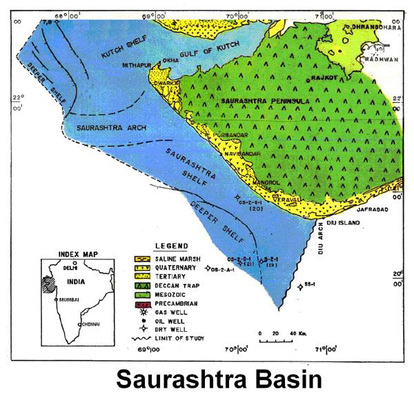
The formation is largely confined to Kirthar Province (KrP) and its outcrops can be traced as far north as Sor Range in Sibi Trough.
GeoJSON
Fossils
Rich in fossils. Crowded with large lepidocyclines; other forams include Operculina, Rotalia, Nummulites makullaensis, Myogypsina globulina, M. intermedia, M. cushmani, etc. At place great masses of limestone are seen to be made up of casts of Stephanoceonia maxima.
Age
Depositional setting
The formation is mainly a marine assemblage in Sindh with fluvial and estuarine conditions prevailing mostly in the upper part. North of Mula River the formation is entirely fresh water.
Additional Information

